

Maps & Data
Explore maps, data, plans and research about Herkimer County’s challenges and opportunities.
What do you want to explore?
-

Interactive Maps
Explore interactive maps of Herkimer County’s land use, broadband accessibility, employment density, and natural lands.
-
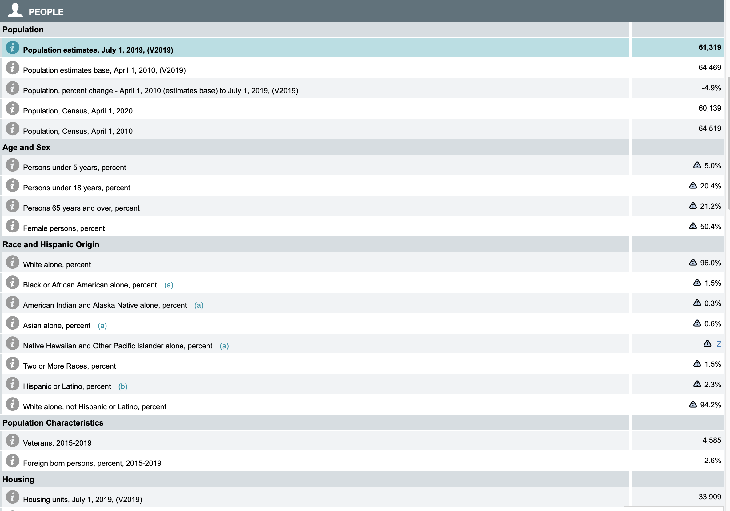
Census Facts
Get quick facts about Herkimer County’s population and demographics at US Census or look up data on your community.
-

Livability Index
Check out AARP’s Livability Index tool for Herkimer County communities. Explore data on housing, parks, food access and more.
Interactive Maps
Click a tab below to explore geographic data on each topic. Use the +/- buttons to zoom in or out. Click on the map and drag to move around. If you see a “Sign In” box, click cancel to continue.
Mapping and data by Environmental Design & Research